
 Start Route
Beydili Rock

5 km
Track km

5/10
Course Difficulty

4.5 Hour
Track Duration
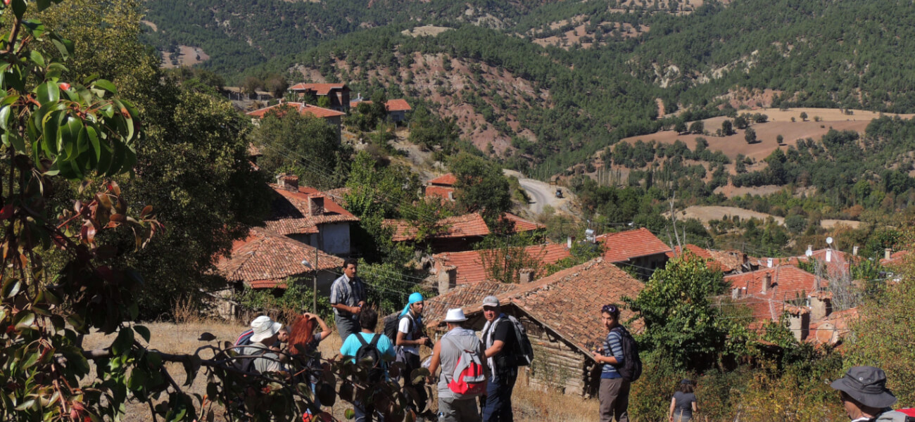
Location: The starting and ending point of the trail is in Beydili Village in Nallıhan, located 35 km away from the town center. The starting point of the trail can be reached at the Beydili junction, approximately 16 km on the Sarıcakaya road leading to Eskişehir.
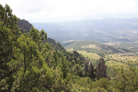
General Features: The trail has an interesting topographic structure with panoramic viewpoints and archaeological remains. After reaching the summit, the trail descends to complete the route. Byzantine era walls, structures, and tomb remnants can also be seen along the trail.
Hiking Distance: 5 Km
Hiking Duration: 4.5 hours
Difficulty Level: Moderate – Easy
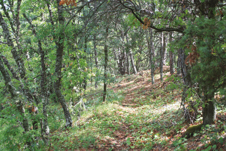
Vegetation: Trees such as Black Pine (Pinus nigra), Oak species (Quercus pubescens, Q. robur, Q. petraea, Q. infectoria, Q. cerris), Juniper species (Juniperus oxycedrus, J. foetidissima, J. excelsa), Hackberry (Celtis australis), Lime (Tilia), White Mulberry (Morus alba), Fig (Ficus carica), and Service Tree (Sorbus torminalis). Shrubs and Herbaceous Plants: Dog Rose (Rosa canina), Christ’s Thorn (Paliurus spina-christi), Cotoneaster, Hawthorn (Crataegus monogyna), Laurel-leaved Cistus (Cistus laurifolius), Honeysuckle (Lonicera), Pea (Lathyrus), Sea Grape (Ephedra major), Mastic (Pistacia terebinthus), Common Jasmine (Jasminum), Stonecrop (Sedum), Grape Hyacinth (Muscari), Nallıhan Star-of-Bethlehem (Ornithogalum), Iris, Wild Onion (Allium), and Mullein (Verbascum).
Animals: Wild Boar (Sus scrofa), Red Deer (Cervus elaphus), Jackal (Canis aureus), Fox (Vulpes vulpes), Pine Marten (Martes martes), Beech Marten (Martes foina), Weasel (Mustela nivalis), Brown Bear (Ursus arctos). Birds: Buzzard (Buteo rufinus), Eagle (Falco).
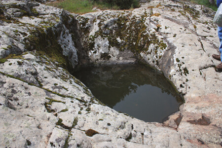
Drinking Water along the Trail: Available at the starting point.
Distance to Major Cities: 200 km from Ankara, 340 km from Istanbul.